Thought that the "Satellite images" feature was not operational in my SatNav version. Tried it the first days after haven taken delivery but noticed no map layout change.
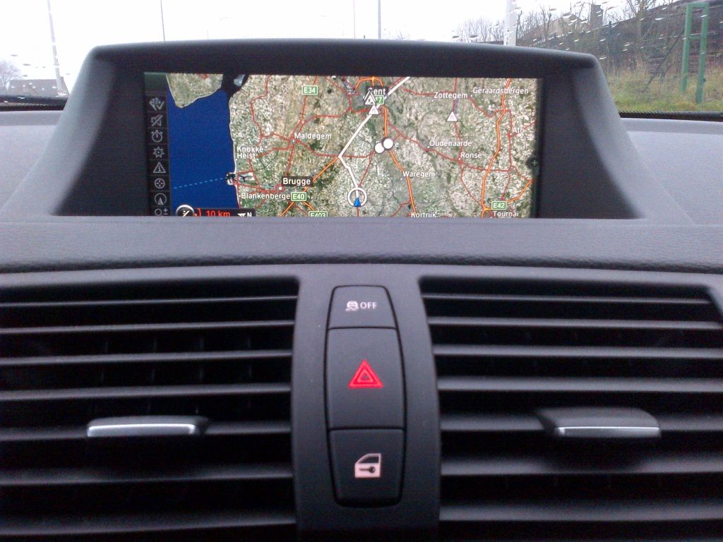
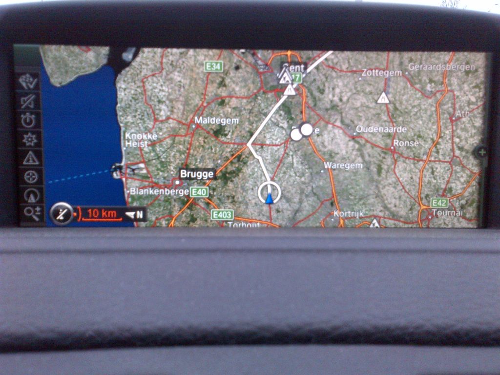
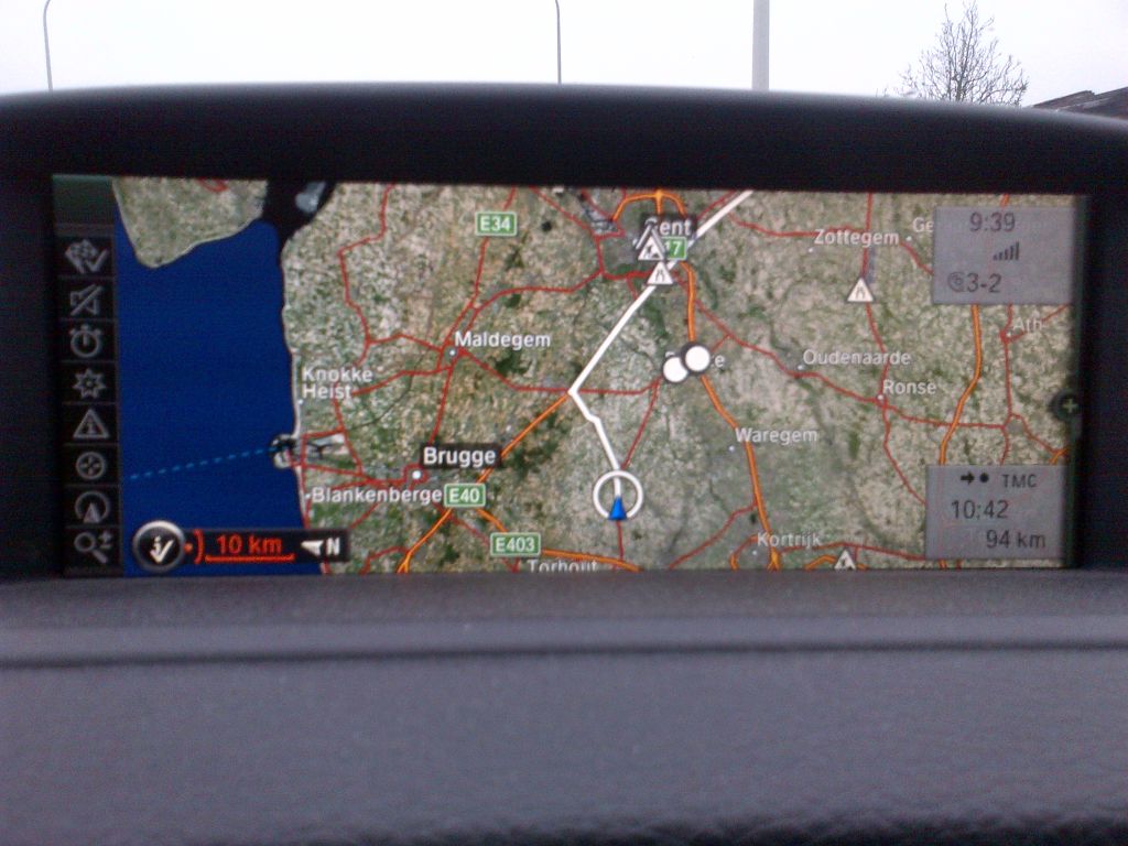
However, found out that that feature is definitely operational on our SatNavs: you got to set the map scale to
at least 2km/1mile.
Nice look and feel and more pleasant during drives in the dark.

When navigation map is showing:
- click the "OPTION" button under the iDrive controller
- select "Settings"
- select "Satellite images"
- click "NAV" button on the iDrive controller
- set the scale to at least 2km/1mile
Hm, I should have read the 2012 manual (BMW 128i/135i Owner's Manual 2012 (USA), page 137 -
http://www.1addicts.com/forums/showp...82&postcount=1):
")
------------------
"Satellite images"
Depending on the availability and resolution, satellite images are displayed in scales of approx. 1 mile to 600 miles / 2 km to 1,000 km.
------------------